Trails
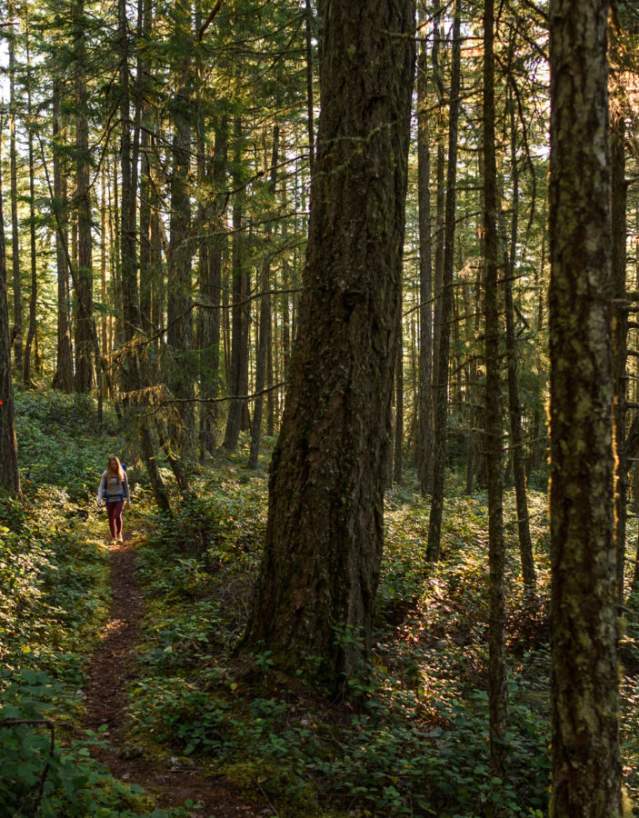
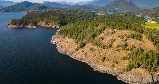
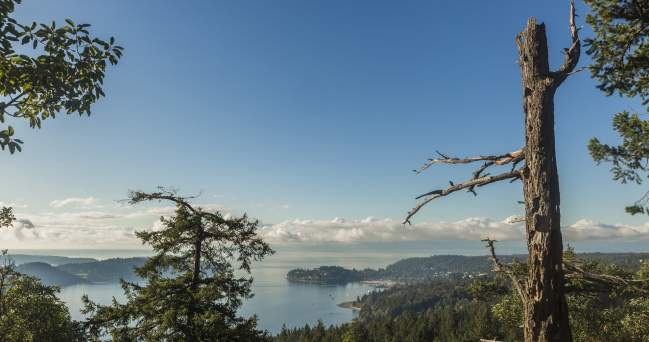
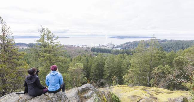
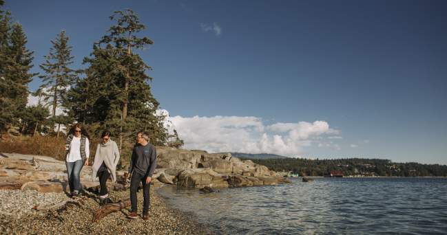
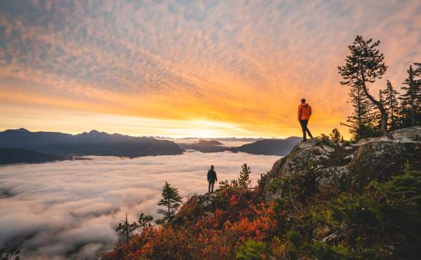
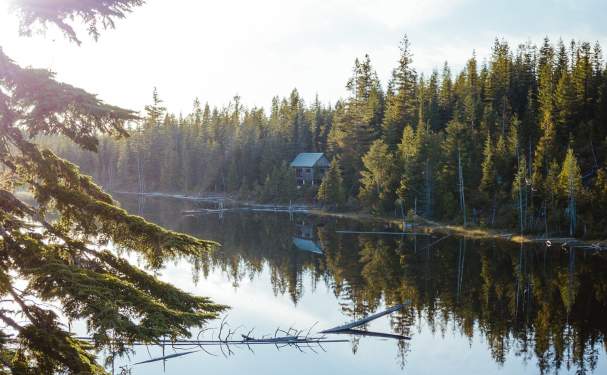
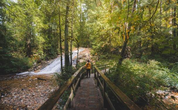
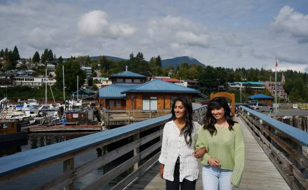
Trails are plentiful and varied throughout the Sunshine Coast.
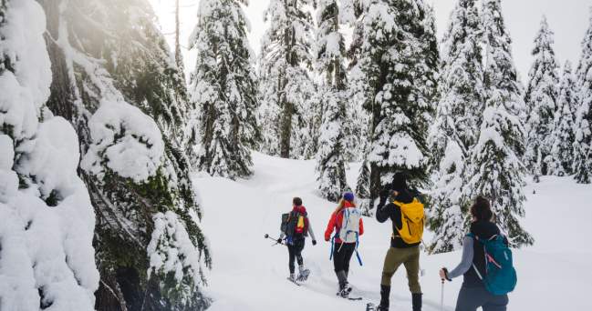
The region boasts over 800 identified trails covering over 1570 kilometres. These trails range from wide, accessible paths through established provincial parks to narrow single track winding through active, working forests. No matter what type of trail you’re looking for, chances are you’ll find it here on the Sunshine Coast. Whether you’re interested in hiking, biking, winter recreation, or even horseback riding, there is a wealth of information to help direct you to the right trail.
Trail users are asked to be respectful. This means packing your garbage out, and being mindful of wildlife, sensitive ecosystems, Indigenous history, and other trail users. Many of the trails enjoyed today by our community and visitors were built by locals, and are often still used in traditional First Nations cultural practices like collecting cedar strips for baskets. This legacy is to be honoured, and you’re invited to share in that by only leaving footsteps, and only taking pictures.
Wondering about wildlife? Our trails are home to creatures big and small. Bears, beavers, black-tailed deer, and birds of all types are a few of the regulars here on the Sunshine Coast. Visit WildSafeBC to learn about local species, how to prevent conflicts with wildlife, and more.
Resources
Visit our Travel Guide & Maps page to access a variety of trail maps.
Explore Our Trails
View AllExplore the Trails: Francis Point Provincial Park
Francis Point Provincial Park is located near Pender Harbour on BC’s Sunshine Coast. The 83-hectare park…
Explore the Trails: Dakota Ridge
Dakota Ridge is a winter gem on the Sunshine Coast. This popular recreation area offers excellent cross-country skiing…
Explore the Trails: Marble Bay and Eagle Cove
Hiking in a new place is always an exciting prospect, but when it comes to a remote rural Gulf Island, it can be tricky…
Explore the Trails: Soames Hill
Soames Hill is located just above Gibsons and only 3 kilometres (1.6 miles) away from the Langdale ferry terminal. You…
Explore the Trails: Valentine Mountain
Valentine Mountain offers one of the best views in the Powell River & qathet Regional District area. Here…
Explore the Trails: Snickett Park
Snickett Park is located in the heart of Sechelt, and offers panoramic views of the Strait of Georgia. The path through…
Travel Guide & Maps
Looking for some trip inspiration and planning tools? Check out the Sunshine Coast Travel Guide, as well as a variety of local maps and resources.
Hiking
Our majestic old growth forests and mountain and ocean vistas provide a stunning back drop for hikers to explore.
Lakes
Although lakes might not be the first thing you think about when you think of the Sunshine Coast, there is more to explore than just our extensive ocean coastline.
Parks
Explore marine access-only parks, provincial campgrounds, established trail networks, picnic areas, and recreation sites.
About the Sunshine Coast
The Sunshine Coast is located on the southern coast of British Columbia, Canada, extending 180km between Howe Sound and Desolation Sound.
First Nations
The Sunshine Coast region is home to the traditional, unceded, and ancestral territories of the Sḵwx̱wú7mesh Úxwumixw, shíshálh, Tla’amin, Klahoose, and Homalco Nations.
