Sunshine Coast Tourism/ Shayd Johnson

The FIFA World Cup 2026™ is coming to BC in June & July 2026! The Sunshine Coast’s proximity to Vancouver, one of 16 host cities in North America, makes it the perfect spot for a variety of…

Discover a string of quaint, coastal communities that offer a slower pace of life, allowing you to truly connect to nature.
Read More
Gibsons sits at the southwest corner of Howe Sound, perched on a hillside overlooking several small islands. It was featured in a classic CBC TV show called The Beachcombers.
Read More
Gambier Island is home to approximately 100 permanent residents. BC Ferries and local water taxis offer convenient foot passenger service.
Read More
Keats Island is located just offshore from the community of Gibsons. BC Ferries and local water taxis offer convenient foot passenger service.
Read More
Roberts Creek is a funky artist community. Discover cultural and natural attractions in the area such as the Roberts Creek Mandala and the waterfalls in Cliff Gilker Park.
Read More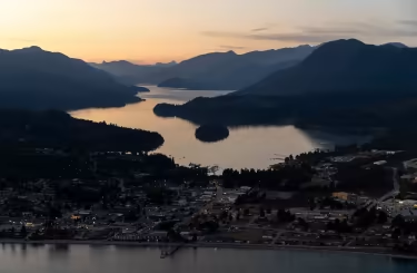
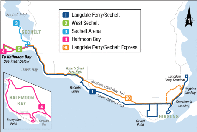
Sechelt sits on a narrow isthmus that separates the Sechelt Inlet from the Salish Sea. It serves as a fantastic adventure hub and is also home to a bustling arts scene.
Read More
Discover some of the most stunning coastline and beach access points on the Sunshine Coast in Halfmoon Bay & Secret Cove. These areas are full of outdoor recreation opportunities.
Read More
Thormanby Island is known for its beaches, a large bay that provides safe anchorage for boats, and provincial parks that offer backcountry camping opportunities.
Read More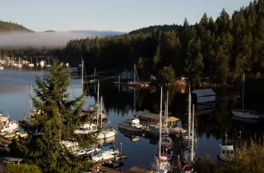
Pender Harbour is the name of a harbour and also the larger area around the harbour, which is surrounded by small communities such as Madeira Park (salalus), Kleindale, and Garden Bay.
Read More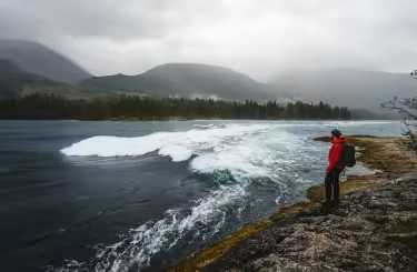
Egmont is home to Skookumchuck Narrows Provincial Park. You'll also find a range of waterfront accommodations and restaurants, along with unforgettable kayaking and boat tours.
Read More
Nelson Island is accessible by private boat or floatplane. It sits along the BC Ferries route between Earls Cove and Saltery Bay, so you can easily view the island during your ferry trip.
Read More
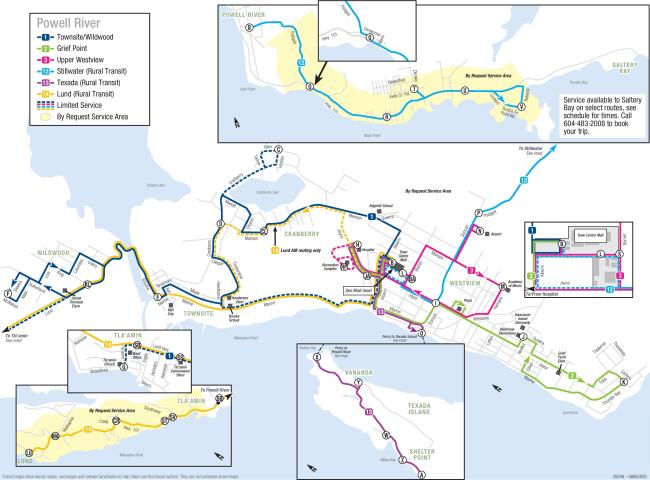
Powell River is a city surrounded by natural beauty and adventure. It's home to the Sunshine Coast Trail, the Powell Forest Canoe Route, and more.
Read More
Texada Island is affectionately called “The Rock” by locals. BC ferries offers car & foot passenger service from Powell River.
Read More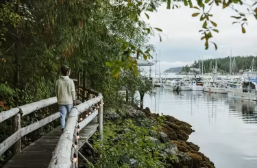
Lund is known as the “End of the Road” due to its location at Mile 0 of Highway 101, which is part of one of the longest highway networks in the world, running from Canada to Chile.
Read More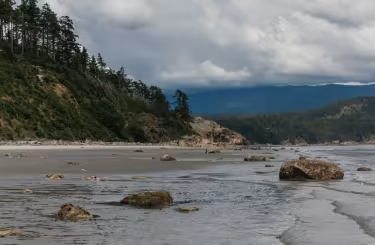
Savary Island is one of the most beautiful islands in the Salish Sea, featuring white sand beaches & stunning ocean and mountain views. Water taxi service is available from Lund.
Read More
The Copeland Islands (also known locally as the Ragged Islands) offer excellent opportunities for kayaking and wildlife viewing.
Read More
Planning a trip to the Sunshine Coast? Here’s what you need to know before you go.

Looking for some trip inspiration and planning tools? Check out the Sunshine Coast Travel Guide, as well as a variety…

Visitor Centres on the Sunshine Coast that offer professional visitor counselling, helpful travel information and…

Explore more of the Sunshine Coast with local travel deals and packages. Check back often for more…

The Sunshine Coast of British Columbia strives to be an inclusive travel destination to people of all abilities. Read…

Browse through directory listings to find accommodations, tour operators, outfitters, retail shops, community services…