Cycling
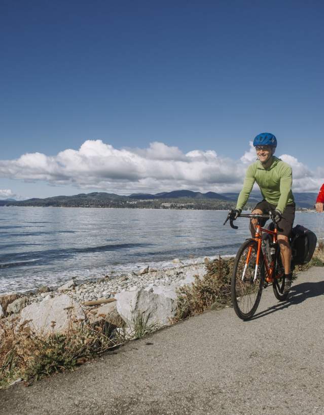
Highway 101 runs along the entire Sunshine Coast and makes for a rugged yet awe-inspiring road ride. This scenic masterpiece weaves along the shoreline before giving way to inland lakes, coastal forests, and mountain views.
The twisting, two-lane highway runs from Gibsons at its south end to Lund at its north end, although you can tackle smaller sections of Highway 101, making for a half-day, full-day or multi-day cycling adventure. Along the way, soak in coastal views, cool down with an ocean dip, and refuel with good food and drink.
Know Before You Go
A single highway (Highway 101) connects the Sunshine Coast. The cycling infrastructure is limited and can present challenges, especially for less experienced riders or large groups. Services are limited between Sechelt and Egmont and between the Saltery Bay ferry terminal and Powell River. While Highway 101 is accessible to all riders, road cyclists should prepare for limited infrastructure and maintenance, a narrow shoulder, and heavier traffic towards Gibsons, Sechelt, and Powell River. Alternate/side routes are available in some sections. Gravel grinders can add on or connect to quiet forest service roads and multi-use trails in between asphalt. Riders are encouraged to view our cycling map or refer to TRaC’s Cycling Route app to plan their visit for the best experience.
Road Cycling Routes and Maps
From leisurely half-day rides to an epic multi-day loop, the 180-kilometre Sunshine Coast has plenty of roads for cyclists to tackle. It all depends on how far you want to ride, your timeline and comfort level, and weather conditions. A half-day ride could see you venturing from Gibsons Landing, then onto Roberts Creek via Lower Road, ending in Sechelt. A week-long, multi-day loop might mean you follow the Coastal Circle Route—albeit on a bike—from Vancouver Island onto Powell River, down Highway 101 to West Vancouver and back. Coming from Vancouver and only have time for a weekend trip? Journey from Langdale up to Skookumchuck Narrows and back.
Looking for local cycling tips? Check out the Sunshine Coast Cycling Club Facebook community or visit the club’s website, where you can find mapped routes of the Langdale to Lower Gibsons Loop & Langdale to Halfmoon Bay. If you’re planning to visit the Northern Sunshine Coast, check out the Qathet Regional Cycling Association for information on trails and local rides. In general, local cyclists are friendly and happy to offer advice, intel and suggestions.
-
Sunshine Coast Bike Route app – via Transportation Choices Sunshine Coast (TraC)
Bike-Friendly Towns
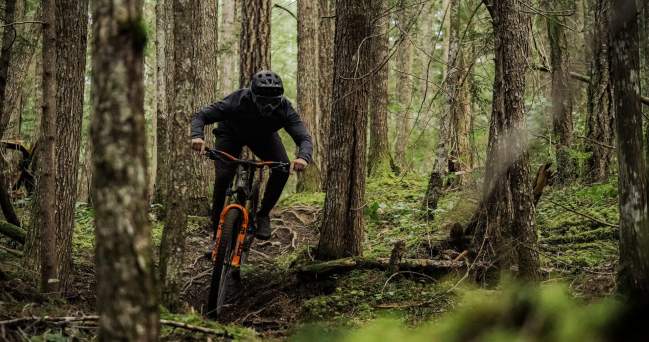
The Sunshine Coast is crisscrossed with mountain bike trails and gravel roads, which means you'll find a thriving community of riders of all types. Your best bet at rubbing elbows with fellow cyclists is at local breweries and cideries in Gibsons, Sechelt, and Powell River, where you'll often find locals post-ride, toasting to the day's adventure with a beer or cider in hand. You can also find great intel at our local bike shops.
In need of bike-friendly accommodations? Cyclists will find a number of roadside campgrounds easily accessible right off the highway. These include Roberts Creek Provincial Park, Porpoise Bay Provincial Park and Creekside Campground in Sechelt, and Kent's Beach Campsite and Saltery Bay Provincial Park in qathet. Up The Creek Backpacker's Lodge in Roberts Creek has an outdoor fire pit, hammock and lounge chairs, perfect for relaxing post-ride. Some vacation rentals are bike-friendly and offer secure bike storage, as well as water hoses—ideal if you're riding during dry, hot, and dusty weather or wet and muddy conditions.
BC Transit, which services the entire Sunshine Coast, and BC Ferries both accommodate cyclists. (Keep in mind that BC Transit only has space for two bikes on any given bus.) There are bike racks on all BC Ferries routes. On the Southern Sunshine Coast, Coastal Rides offers rideshares, some of which are outfitted with a bike rack if you're looking to cut out sections of the highway that may be too heavily trafficked or hilly.
Plan Your Cycling Trip
Here are a few tips to making sure you're cycling trip on the Sunshine Coast is both memorable and safe:
-
Check BC Ferries' schedule ahead of time. Show up early to terminals during peak season and busy times.
-
Coming on the Horseshoe Bay to Langdale route? When embarking at Langdale, allow the heavy ferry traffic to pass first. If you choose to ride ahead of cars, we recommend cyclists turn left along Marine Drive instead of straight along the highway viaduct, which becomes extremely busy and congested with a narrow shoulder.
-
On the Comox to Powell River route? Let cars pass first by pulling into the marina's parking lot.
-
Planning to take public transportation? Please note that bike space is limited and cannot be guaranteed. Cyclists are responsible for loading and unloading their bicycle, which must meet specific guidelines—particularly when it comes to e-bikes. Learn more about both the Southern Sunshine Coast and Northern Sunshine Coast routes.
-
Book accommodation ahead of time. Planning to treat yourself to a nice meal? Reservations are recommended across the Sunshine Coast.
-
Make sure to wear high-visibility clothing, especially if you are riding in low-visibility times, like dusk or dawn.
-
Be prepared for climbs; the Sunshine Coast is deceiving hilly. Build extra time into your route planning to account for the elevation gain.
-
Make sure to bring appropriate gear, with extra tubes, patch kits, and a pump. While the Sunshine Coast does have decent amenities and services for cyclists, hours of operation and staff at bike shops can vary. We also recommend you bring energy gels and other bike-friendly snacks, as local supplies can be limited.
How to Travel With Your Bike on BC Ferries
Click the "play" button to learn more about travelling with your bike.
